13. Custom Maps
Note
Custom Maps is a new feature currently available to trial. If you would like to check it out please get in touch with us at support@ozrunways.com today!
Upload your georeferenced PDF or TIFF/TIF files to make them available in OzRunways across your company devices.
The approximate file size limit is 1GB. Files approaching this size may have issues processing. If you encounter any problems please contact us for troubleshooting.
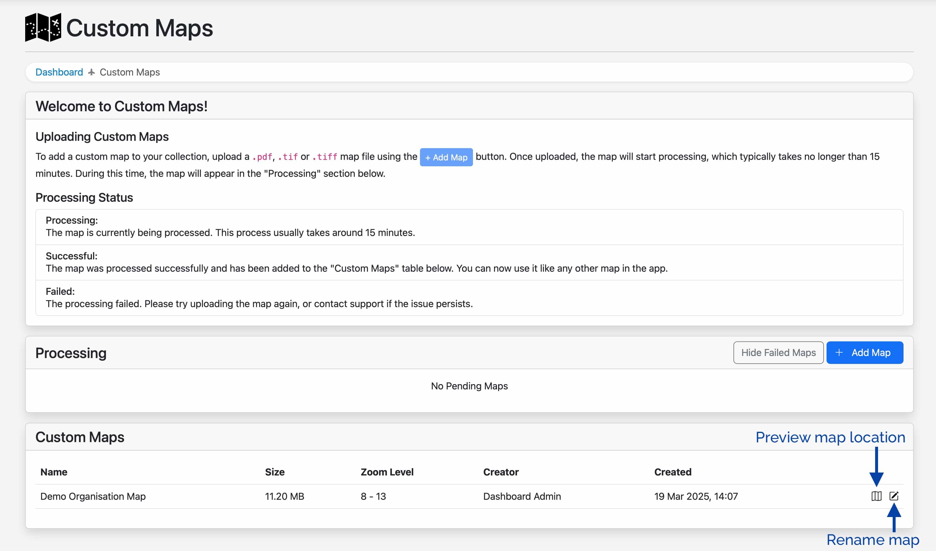
When the map has finished processing (allow up to 15 minutes) it will move to the ‘Custom Maps’ section at the bottom of the page. The map will now be available to select from the ‘Choose Map’ list in OzRunways, alongside all other maps.
Zoom Level is the extent to which you can zoom in and out of the map, it is determined automatically based on the properties of the file.
There are two buttons at the far right of each map entry which allow for previewing the map location, and renaming the map.